
Hickory Neighbors by the Block
Looking up Hickory neighbors begins with a block or parcel, not a person profile. The county GIS viewer can show nearby parcels, map layers, and report links. Tax records can show a public owner field and mailing address. City neighborhood pages identify recognized association areas. Those sources are useful for a map question, an association boundary, or a property record. They do not establish who knows whom, who occupies every parcel, or who belongs to a household.
| Source | What It Shows About a Block | Access |
|---|---|---|
| Catawba GIS Parcel Viewer | Selected parcel, surrounding parcels, map layers, deed pointer and reports | Free informational viewer |
| Catawba Tax Bill Search | Owner display, mailing and situs fields, REID/LRK/PIN and assessment context | Free public search |
| Hickory neighborhood pages | Recognized association names, boundary context and city liaison information | Public city pages |
| State voter lookup | One registered person's election geography and status where public | Free official lookup with limits |
| Historic maps and directories | Dated street form, institution, or household context | Online and library routes |
For Hickory neighbors, owner, mailing, situs, and occupancy are different fields. A mailing address may be a business, estate, agent, PO Box, or another city. A parcel result is a public land-record relationship, not proof of present residence.
Use the source that matches the scale of the question. A parcel report can identify a mapped tract and its recorded-deed pointer. A neighborhood page can explain a recognized community area. A historic map can show the year and form of an older block. None replaces an official address check, and none supports guessing who shares a household. For a city or county question at the edge, confirm the physical parcel before assuming that Hickory's mailing identity places it in Catawba County.
Hickory Neighbors on the GIS Map
Catawba's GIS Parcel Viewer starts with address, owner, subdivision, or business and landmark autocomplete searches. After selecting a result, map tools can select by rectangle, polygon, line, buffer, or adjacent parcel. The adjacent tool requires one selected parcel. A buffer uses a radius around a map point. Both are geographic queries, not statements about social relationships.
The viewer's layers include parcel dimensions, old parcel lines or easements, historic tax maps, aerials, zoning, flood areas, schools, parks, voting precincts, and street names. Each layer has its own date and authority. The county calls the map informational and says it is not a legal record or survey.
County GIS says deed transfers are generally updated within three weeks of recording and boundary adjustments can take up to four weeks. That is a useful reason to preserve the date of a map or parcel report. A current map selection can change after a transfer or adjustment. It also cannot tell whether a building has been rebuilt, a household changed, or a historic directory address maps neatly to the present parcel.
Mapping a Hickory Block Carefully
Use one parcel as the starting point, then keep the research unit as the block or mapped area. This reduces the risk of turning a geographic tool into a people-centered dossier.
- Search the address in the GIS Viewer and select the parcel that matches the physical location.
- Choose Adjacent for touching parcels, or use a modest buffer or rectangle for a clearly defined area.
- Open individual parcel reports only when a public land or map question requires a field such as deed book/page or zoning.
- Compare the street, parcel ID, city/tax district, and map date before moving to a tax or deed record.
- Use the Hickory by-street directory only when the question expands from the immediate block to a named street's full record trail.
GIS has reported links to all owners, deed history, assessment, tax bill, permits, school map, and zoning contacts. Those reports provide different types of evidence, so a school or zoning layer should never be used as title or occupancy proof.
Hickory Neighborhood Association Areas
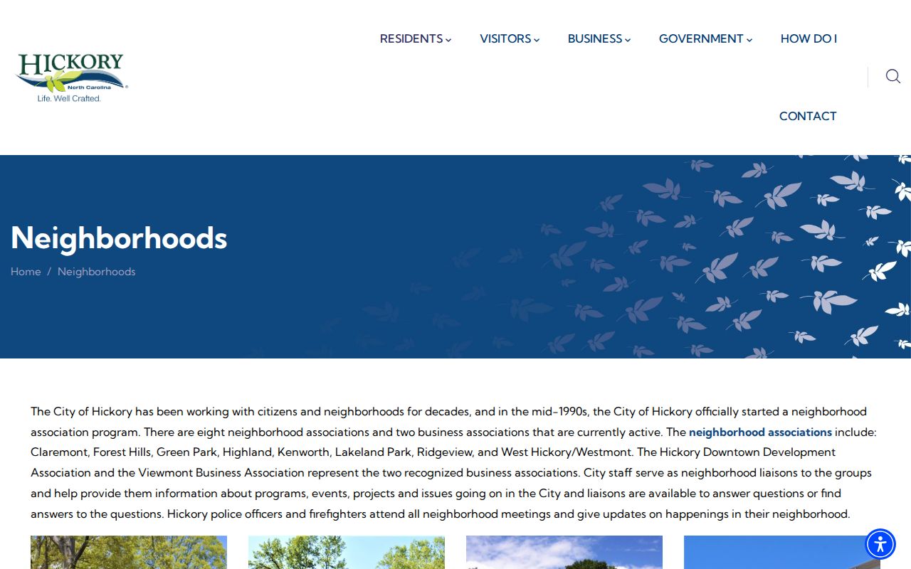
Hickory's neighborhood page says there are eight active neighborhood associations: Claremont, Forest Hills, Green Park, Highland, Kenworth, Lakeland Park, Ridgeview, and West Hickory/Westmont. It also identifies the Hickory Downtown Development Association and Viewmont Business Association. The same page has Oakwood/Hillcrest and Viewmont cards, so the public page's narrative count and cards do not line up perfectly. Treat that as a source inconsistency and verify current activity directly.
The city neighborhood page provides the recognized-association context for a Hickory neighbors search.
Association boundaries are community reference areas, not deed parcels, election precincts, ZIP areas, or evidence of membership.
The recognized-neighborhood map is dated or revised around 2017-2018. It shows Claremont, Downtown, Forest Hills, Green Park, Highland, Kenworth, Lakeland, Oakwood/Hillcrest, Ridgeview, Viewmont, and Westmont along with parks and institutions. Use that revision date when comparing it with a live city page or GIS layer. The city page says staff liaisons, police, and firefighters attend meetings, but the research located no public member roster or confirmed block-watch directory.
Forest Hills
Northwest Hickory, bounded by 12th Avenue NW, Old Lenoir Road NW, 16th Avenue NW, and Horseford Creek. The city describes plats in 1946 and 1948.
Green Park
Southwest of the center, with rail and named-street boundary references. The city notes its school in 1917 and church history around 1927.
Claremont
Northeast Hickory, with NC 127 and the rail line as geographic references and several historic properties.
Hickory Neighbors, Parcels, and Owners
The Catawba parcel report can show a deed book/page, subdivision, lot/block, acreage, city/tax district, zoning, voter precinct, and linked reports in addition to owner and address fields. That richer record helps separate land, mapping, school, and election context. It does not provide a verified list of occupants. County GIS states that deed transfers are generally updated within three weeks of recording and boundary adjustments can take up to four weeks.
A parcel's legal description is the title boundary language. Its situs address is the physical location. Its tax mailing address is where notices are sent. Those three identifiers may differ, especially with PO Boxes, entities, or estates.
Hickory Neighbors and Election Geography
The state voter lookup is a name-based tool, not a block roll. Its required-looking fields are first name, last name, and at least one status choice, with optional middle initial, birth year, and county. A public result can provide election jurisdictions, polling place, sample ballot when available, absentee information, and voter history. It does not provide a safe basis for creating a neighborhood contact list.
G.S. 163-82.10 protects Social Security numbers, full or partial birth dates, email, photo-ID copies, driver-license numbers, and certain registration details. Catawba precinct maps are election geography. Hickory's PACT quadrants, called Adam, Baker, Charles, David, and Edward, are police and community geography. Neither is an association boundary or ZIP.
Hickory Neighbors in Older Maps
Historic tax maps, aerial photography from 2006, 2009, and 2012, old parcel lines, and Sanborn sheets can help explain how a block changed. They must be kept in time order. Hickory's 1908 numbering plan and the 1931 Highland and West Hickory merger are practical warnings against forcing a printed directory address onto a current map.
Forest Hills gives one local example. The city says the area was platted in 1946 and expanded in 1948. A 1941 or 1947 directory, a map, and a plat can supply context, but none should be rewritten as a claim about current neighbors.
Hickory Neighbor Sources Compared
Use the official source that fits the question. Direct county and city records preserve a custodian, a field label, and an access route. Commercial neighbor tools are data compilations and can contain stale, merged, or wrong-person matches.
| Official block sources | Commercial neighbor-tool category |
|---|---|
| GIS and tax data define parcel and map context, with disclosed limits and county contact routes. | May flatten owner, address, and household information into an unsupported profile. |
| City association pages describe community areas and institutional context. | Cannot prove membership, friendship, current occupancy, or shared household. |
Hickory Neighbor Lookup Limits
Renters, household members, utility customers, delivery recipients, and association membership rosters are not a reliable public block record. North Carolina's Address Confidentiality Program can protect a participant's physical address through a substitute address. Qualifying sworn law-enforcement officers may use Catawba's form to request removal of residence-identifying information from GIS and Tax Bill Search. Do not try to reconstruct a protected field from another source.
Public records can also be redacted or restricted by their category. Voter files protect birth-date and identification fields; vital, juvenile, sealed-court, and driver information have separate rules. A same-name match or a missing search result does not prove identity, absence, or a current address. Keep only the minimum public field needed for a map, civic, or family-history question, and return to the custodian when a protected result needs an official explanation.
The state also treats stalking as repeated harassment without legal purpose that causes reasonable fear or distress. Access to a public map or parcel field does not change that limit. Stop at the geographic or institutional fact needed for a lawful question.
Lawful use. Use Hickory neighbor records for map awareness, local history, civic context, and lawful personal research. Do not use them to watch, harass, intimidate, or harm anyone.